Abstract
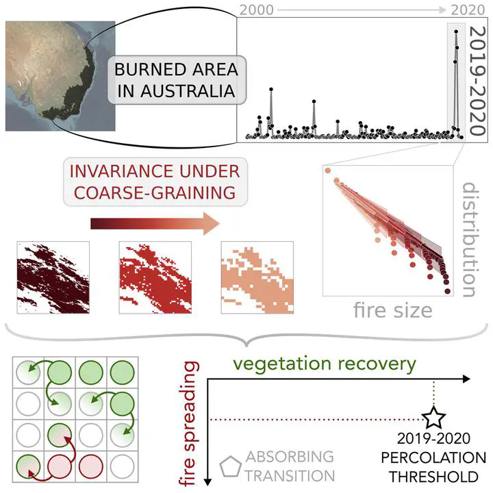
$<$h2$>$Summary$<$/h2$><$p$>$Between 2019 and 2020, during the country’s hottest and driest year on record, Australia experienced a dramatic bushfire season, with catastrophic ecological and environmental consequences. Several studies highlighted how such abrupt changes in fire regimes may have been in large part a consequence of climate change and other anthropogenic transformations. Here, we analyze the monthly evolution of the burned area in Australia from 2000 to 2020, obtained via satellite imaging through the MODIS platform. We find that the 2019–2020 peak is associated with signatures typically found near critical points. We introduce a modeling framework based on forest-fire models to study the properties of these emergent fire outbreaks, showing that the behavior observed during the 2019–2020 fire season matches the one of a percolation transition, where system-size outbreaks appear. Our model also highlights the existence of an absorbing phase transition that might be eventually crossed, after which the vegetation cannot recover.$<$/p$>$